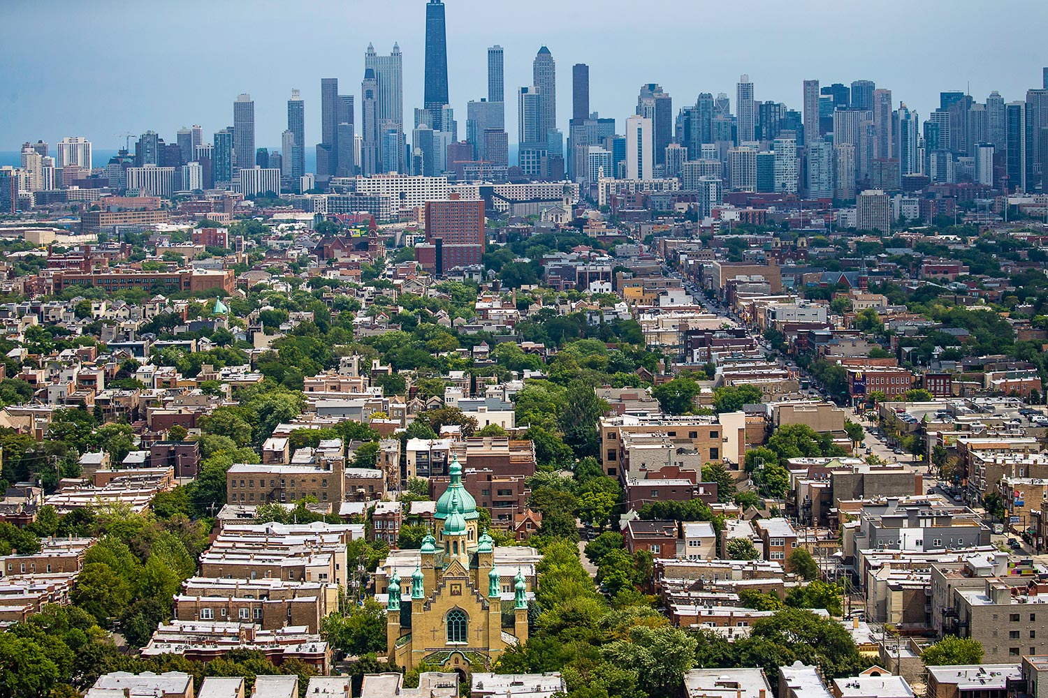
In the 19th and early 20th centuries, the Census Bureau tracked births and deaths in Chicago by ward. But because those boundaries change based on population shifts and politics, the data couldn’t be accurately compared over time. So in the 1920s, to provide more stable demographic districts, sociologists at the University of Chicago’s Local Community Research Committee and medical experts at the Chicago Department of Public Health delineated 75 community areas, using rivers, parks, railroads, and established neighborhood lines as boundaries.
Not all well-known neighborhoods have their own community areas. Wicker Park and Ukrainian Village, for example, are each part of the West Town community area, which also includes half a dozen other neighborhoods. Cabrini-Green and the Gold Coast fall in the Near North Side, despite their socioeconomic differences.
There have been only two major changes to the map. In the 1950s, after the city annexed the land on which O’Hare airport sits, that swath became the 76th community area. And in 1980, some residents of the Far North Side demanded to be separated from Uptown, which had come to be viewed as a slum. Thus was created Edgewater, community area No. 77.
Send your questions about the Chicago area to emcclelland@chicagomag.com.