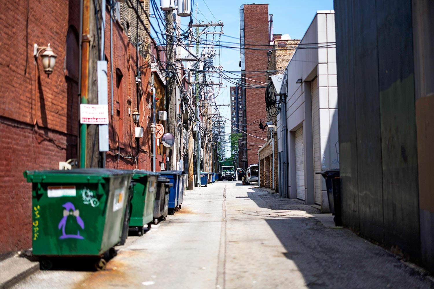
In the early 19th century, as America moved west, settlers had a mess on their hands: What to do with horse dung? Their solution: alleys. While older cities, such as New York and Boston, were too dense to accommodate alleys, there was plenty of room in the old Northwest Territory.
In 1830, the Illinois and Michigan Canal Commission hired surveyor James Thompson to lay out a new town at the eastern end of the canal’s route, alongside Lake Michigan. The Illinois General Assembly ordered that this municipality be “subdivided into lots, streets and alleys.” And so Thompson included an alley in each of Chicago’s 58 blocks. As the city grew, the pattern continued. Today, 90 percent of Chicago blocks have alleys, giving us 1,900 miles of them, more than any other U.S. city. The alleys kept streets free of manure and garbage, and once cars came along, alley garages relieved the street parking crunch.
Chicago is the alley king not just because of its size but because of timing. Car-crazy Los Angeles preferred driveways and side lanes. As the Lakota Group, a local urban planner, says: “Chicago managed to be planned between the periods of pre-American-alleyway (New York City) and the industrial revolution (Los Angeles).”
Send your questions about the Chicago area to emcclelland@chicagomag.com.