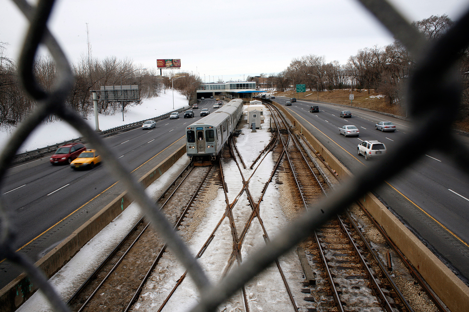
The advent of big data, and the increasing consent of technology users to allow location-tracking, is of great interest to sociologists, transportation engineers, urbanists, and other researchers. But getting data (and data on that data) is hard. So the good old-fashioned survey is still a powerful tool.
In 2012, Shan Jiang, a Ph.D. candidate at MIT and a former CTA intern, used a large 2008 CMAP survey (10,000 households, 30,000 individuals) on what participants did all day, every day, both when and where. Animated, it's a portrait of a city in motion. Here's what Chicagoland looks like during a weekday.
What to do with all this? The authors… are vague on that point. Something neat:
Taken together, the significance of clustering people based on their daily activity patterns sheds lights on potential future applications in urban and transportation planning, emergency response and spreading dynamics. For example without heavy-burdened computational costs, urban and transportation researchers may understand activity-based signature of daily travel patterns for different types of individuals, and/or construct individual mobility networks. Knowing more about the links between land use and activity patterns could facilitate congestion management, and improve models that try to predict human mobility, estimate origin-destination (OD) matrices, and/or simulate travel patterns under different circumstances.
What it put me in mind of was Emily Badger's recent piece on the research of Victoria Virginia Parks, who finds substantial difference between races in Chicago by self-reported commuting time. The first comment on the piece was particularly interesting: "The problem isn't access to downtown jobs, at least on the West Side. The problem is access to local blue-collar jobs. There are a ton of them in Galewood and Cragin directly to the north, Little Village and Brighton Park right to the south, and Cicero straight to the west."
As the area's transit agencies are required by law to implement a universal fare system by next year, it will, perhaps, improve the city-suburban mass transit links that the region has historically had problems with; this kind of data, and this way of looking at it, could highlight things like transportation gaps in the context of socioeconomics.