At the intersection of 99th and Halsted streets, in the Roseland neighborhood, is a sign reading “BEGIN ILLINOIS ROUTE 1.” It’s the outset of a two-lane highway that ends 325 miles later, at ferry crossing on the Ohio River. Running for its entire length close to the border with Indiana, Route 1 is a must-drive byway for any motorist who wants to see Illinois in all its topographic and cultural glory. From Chicago to Cave-in-Rock, Route 1 passes through every layer of this long state: city, prairie, and Ozark highlands. I’ve driven its entire length once, and more than once used it as a blue highway alternative to the stultifying Interstate 55 on my journeys through Illinois.
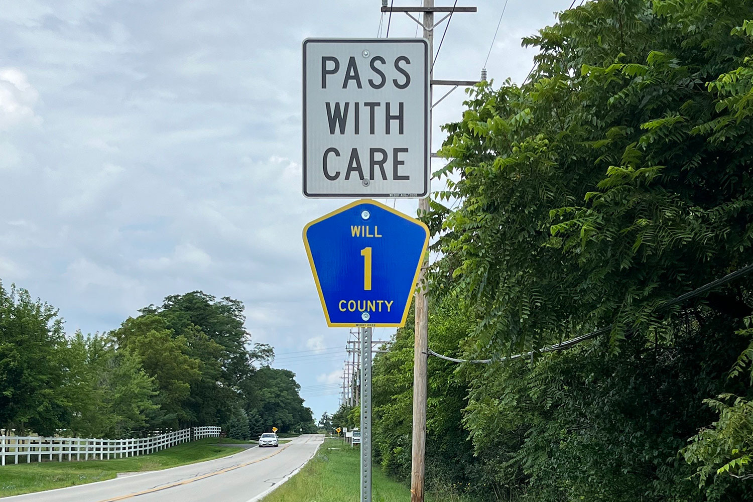
At its outset, Route 1 is just Halsted Street, running past auto body shops and steel mills in the old growth industrial suburbs of Riverdale and Chicago Heights. South of Crete, though, it flows past cornfields, the sign you’ve reached territory where people say, “I’m from Illinois,” rather than “I’m from Chicago.”
“The trade center villages rising from the cornfields owe their founding either to the Hubbard Trail, the Chicago-Vincennes State Road, or the Chicago and Eastern Illinois Railroad, built between Chicago and Danville in 1871,” wrote the anonymous Federal Writers’ Project scribes who produced the WPA Guide to Illinois, which was published in the 1930s, but is still an essential Baedeker to the state. “The Hubbard Trail, which State 1 approximates, was marked off in the 1820s by the wagon wheels of the fur trader Gurdon S. Hubbard” — the namesake of Hubbard Street.
The first essential stop on Route 1 is St. Anne, a population-1,200 hamlet in Kankakee County. The village was settled in the 1850s by French Canadians, who named it for Mary’s mother, a saint venerated in Quebec. They built St. Anne’s Church, a Gothic structure that rises stone by stone from the prairie, then lifts a weathered copper belfry toward heaven. It’s a rare remnant of French Illinois, which predated the arrival of the English here by nearly a century. Anne is the patron saint of grandmothers, so since 1886 the church has held a festival for grandparents on her feast day, July 26.
Forty miles further along Route 1 is Hoopeston (pronounced HUP-ston). Illinois is a state with colorful high school nicknames: Cobden has the Appleknockers, Freeport has the Pretzels, and Pekin had the Chinks, before that was changed to the Dragons in…1981, when racial enlightenment finally reached Tazewell County. Hoopeston’s high school teams are known as the Cornjerkers, which…isn’t what it sounds like. Hoopeston calls itself the sweet corn capital of the world, and a cornjerker was a laborer who shucked the ears and threw them into a wagon pulled by a mule. The school’s mascot is an ear of corn with its husk parted to the navel, like a green disco shirt.
Danville is a city of 29,024 and you’d be surprised at how many of them you’ve heard of. The Hometown Stars McDonald’s is a local hall of fame, honoring Dick Van Dyke, his brother Jerry, pianist Bobby Short, singer Helen Morgan, actor Gene Hackman, song and dance man Donald O’Connor, and astronaut Joe Tanner. Not showbiz enough for McDonald’s, but depicted on a downtown mural, is Speaker of the House “Uncle” Joe Cannon, a Danvillian who appeared on the first cover of Time magazine.
Paris — which was not settled by the French, but by an Englishman who saw the name “Paris” carved on a tree — is the seat of Edgar County. On its town square is Illinois’s most ornate courthouse, a Romanesque Revival structure with a “‘wedding cake’ tower, painted gray, of galvanized iron,” according to its nomination to the National Register of Historic Places. “A statue of justice, facing west, tops the tower. The building is, in essence, octagonal in shape, consisting of four sides (facing north, east, and south) and four main entryways (facing northeast, southwest, northwest and southwest)…the main building was of blue Amherst stone while the porch floors and steps were of Kasota limestone. Carvings ordered for the exterior of the building include lion heads, medallions, entablatures, and datestones.”
Illinois’s shape is defined by rivers: the Mississippi, the Ohio, and the Wabash. In Mount Carmel, Route 1 reaches the last of these, which forms a crooked border with Indiana. Years ago, WTTW produced a documentary about Route 1, following it as this post does from beginning to end. By the time the documentarians reached this portion of Illinois, the locals’ accents were as southern as Kentucky, the state to which Route 1 leads. After a drive through the hilly country that forms the Garden of the Gods, the end of the road is at Cave-in-Rock, a niche in the bluff overlooking the Ohio River. The 18th Century charlatan Samuel Mason put up a sign advertising Cave-in-Rock as a “Liquor Vault and House of Entertainment.” When thirsty, horny flatboat crews stopped to be liquored and entertained, Mason robbed them. Cave-in-Rock remained a hideout for “scoundrels, thieves and counterfeiters” until they were routed by Davy Crockett and Mike Fink. You’d know that if you saw the Disney movie Davy Crockett and the River Pirates, which was filmed in Cave-in-Rock.
Your trip down Route 1 is over. You’ve seen inner-city Chicago. You’ve seen steel mills. You’ve seen corn. You’ve seen rivers. You’re at the precipice of the South. You’ve seen Illinois.