Map geek and U. of C. grad Eric Fischer has created some fascinating maps of American and European cities, "paths from one geotagged tweet to the next by the same person, routed along the most heavily geotagged path in between." Here's his map of Chicago. It looks like about what you'd expect—heavy Twitter traffic along the Blue Line from O'Hare, heavy use along the northwest El corridors from the Loop. But what confuses him (and me) is that "the curve heading to the southwest seems especially suspect for not corresponding to any particular road or transit line."
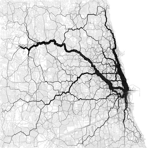
What I can best determine from looking at it closely (a large version is available here) is that the southwest curve leads heads west from Logan Square, and then jogs southwest to Oak Park and Forest Park around Austin. It stops curving north of what looks like Columbus Park, the west border of which is represented by Austin Boulevard, the dividing line between Oak Park and Austin. So my guess is that it might represent car traffic from Oak Park/Forest Park to the north side and back, routing around Austin. But it's a pretty circuitous route, so it's definitely confusing.
Map: Eric Fischer (CC by 2.0)