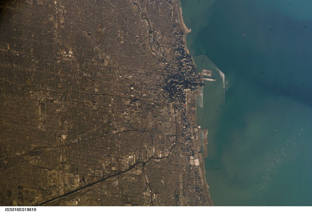
After seeing astronaut Chris Hadfield's picture of Chicago from space earlier today, I went browsing around to see what else I could find—other angles, other seasons, other parts of Chicagoland.
It turns out NASA's Earth Observation Team maintains a massive database of photos, "The Gateway to Astronaut Photography of Earth," with hundreds of Chicago alone—going back to 1973, when the U.S.'s first space station, Skylab, launched. I browsed the photos for hours.
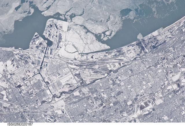
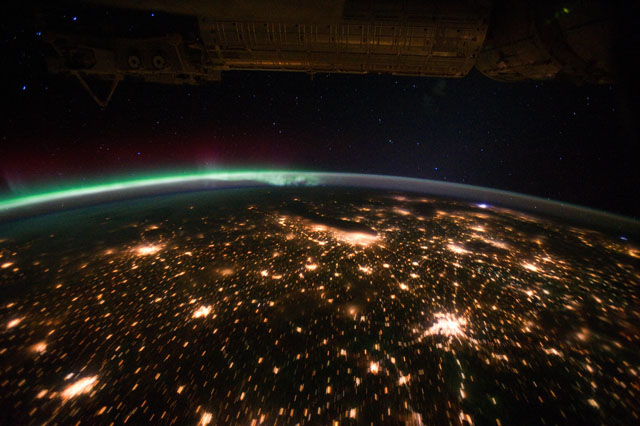
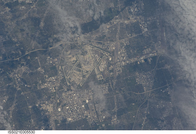
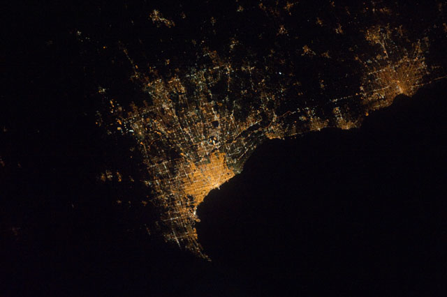
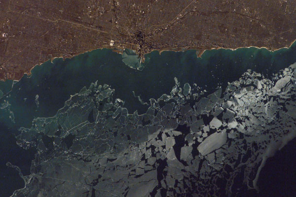
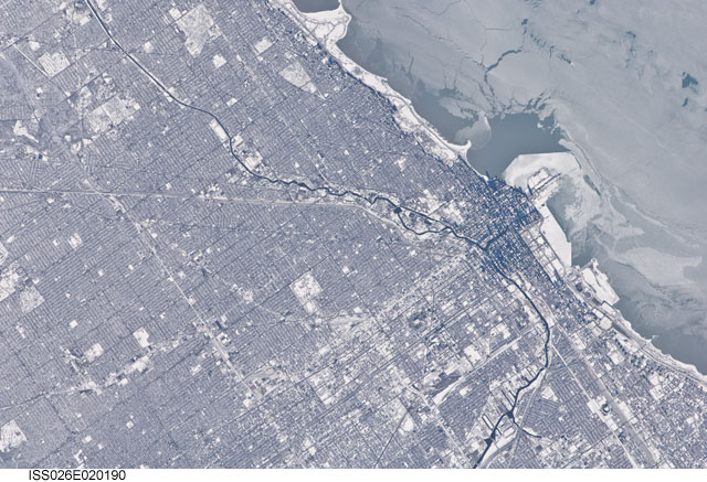
Some are spectacular, like a shot of the Midwest with an aurora looking down on it. Some are haunting, like Chicago at night through a thick layer of clouds. Some are more subtly interesting, like a crisp night photo of the city, its boundaries clear from the color of the streetlights; or one of Oak Park and Forest Park, their boundaries recognizable from space as just a little more green than Austin and Melrose Park. Then there are the massive ice floes off the shoreline, which either put the city in perspective, or comically distort it.
Here are a few of the highlights:
Want more? Have a look through the gallery below.