My prior post looked at where jobs are in Chicago, and how that changed from 2002-2010. But the Census Bureau's OnTheMap also shows where those employees live, and it's sortable by industry—so you can see where Chicago's construction workers, manufacturers, and heads of companies tend to live. Some industries are pretty evenly distributed, but some interesting patterns emerge.
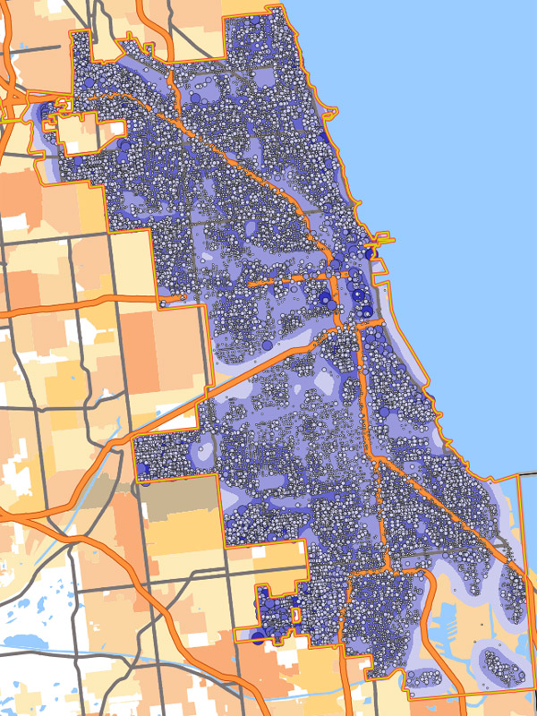
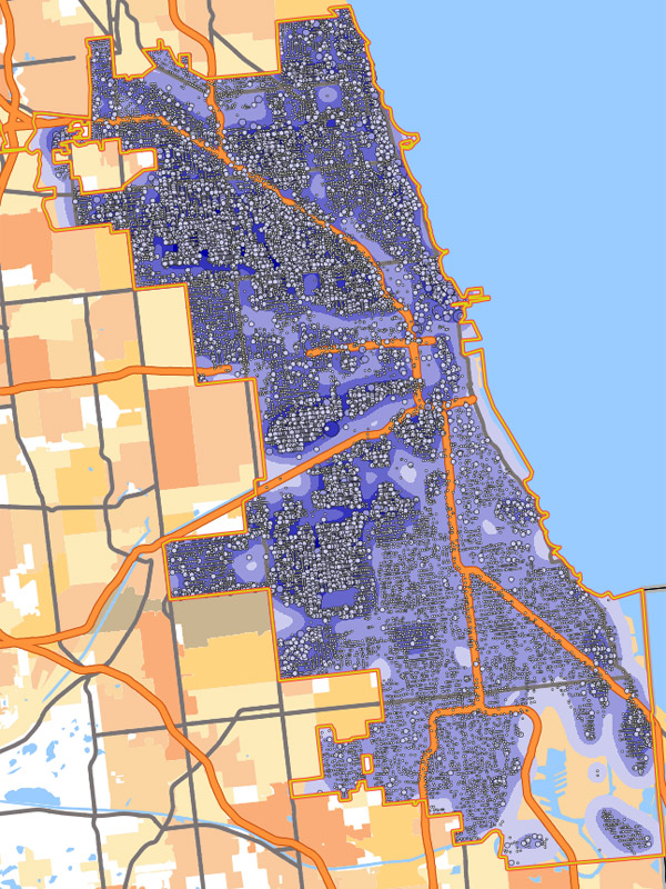
Here's the 2010 map for "management of companies and enterprises." Unsurprisingly, there's a lot of density from the Loop north through Old Town and Lincoln Park, as well as East Village and Wicker Park:
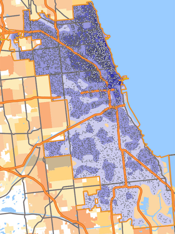
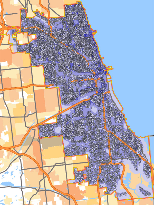
Professional, scientific, and technical services has a similar geography:
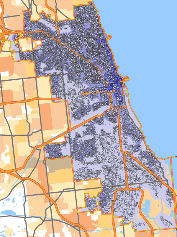
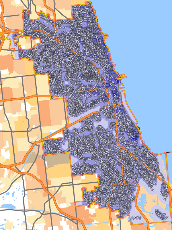
Compare that to construction, which is well represented on the far northwest side, in places like Portage Park and Dunning, and on the southwest sides around South Lawndale, Midway, and Mt. Greenwod:
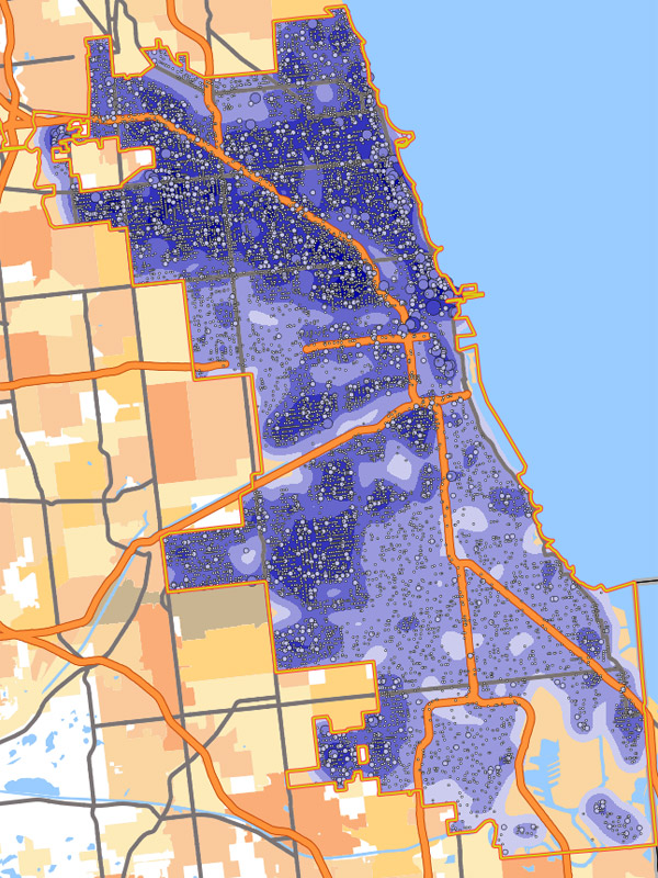
Manufacturing is similar:
Transportation and warehousing has pockets of density in Austin, South Shore, and West Englewood through Auburn Gresham:
Accomodation and food service is evenly distributed, but spotty on the far South Side:
Educational services is very evenly distributed:
As is health care:

And public administration is quite dense on the far South Side, especially around Mount Greenwood and Ashburn: