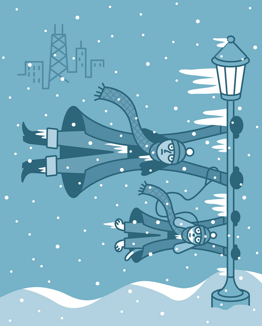
You’ve probably already reached for your parka upon reading “polar vortex.” But for the blissfully uninitiated: When Chicago gets hit with one, crippling snowstorms can occur and temperatures can plummet 30 to 40 degrees below normal. We experience literal Arctic weather. As in, actual air that should be in the Arctic is in Illinois. Though these extreme cold snaps have happened off and on here for years, the phrase went mainstream in frigid January 2014, and it stuck, because “polar vortex” sounds metal as hell. The last occurrence was in 2019, when temperatures hit negative 23. So if we’re on the five-year plan, we’re due!
What it is (and isn’t)
First off, a polar vortex isn’t a storm. It’s a weather phenomenon. Stop villainizing polar vortexes! In fact, it forms above the Arctic Circle every winter. A whirl of low-pressure frigid air circles around in the North Pole’s stratosphere (10 to 30 miles up). It’s typically contained to the Arctic, thanks to the jet stream encircling it, which acts as a sort of fence. But sometimes there’s a weak polar vortex, which erodes the fence. And when the temperature difference between the sides becomes less stark, the vortex becomes wavy and dips down into various parts of the Northern Hemisphere. The cold air moves south, leaving the North Pole itself freakishly warm. It’s counterintuitive, but if you want no polar vortex in Chicago — hands up, please — you want a strong polar vortex in the Arctic.
The climate change factor
If you had “climate change” on your bingo card, ding ding! Remember: Warmer Arctic air = weaker jet stream fence = Arctic air frosting the Bean. And I’m not sure if you have heard about this, but the global temperatures? They’re rising. So yes, these extreme winter cold snaps are getting more frequent and more intense. Take that to your grouchy uncle who thinks Gen Z is just soft.
Frigid odds boosters
Sorry to be an ice queen, but there are two other weather phenomena happening this winter that strengthen the likelihood of a polar vortex reaching Chicago:
1. The ol’ El Niño–Southern Oscillation Higher water temps in the Pacific increase the odds of a sudden stratospheric warming — heightened pressure and temperatures in the polar stratosphere — which can lead the jet stream to plunge southward, which can lead to … Chiberia.
2. An easterly quasi-biennial oscillation You don’t know what a quasi-biennial oscillation is? Grow up. These stratospheric winds above the equator change direction every 14-odd months. When blowing east, as they are this winter, they raise pressure in the polar stratosphere. Which means an east-blowing QBO is correlated with a SSW. SMH.